Call Now
Call Now
Mount Kilimanjaro is a large dormant volcano in Tanzania. It is the highest mountain in Africa and the highest free-standing mountain above sea level in the world, at 5,895 m (19,341 ft) above sea level and 4,900 m (16,100 ft) above its plateau base. It is also the highest volcano in the Eastern Hemisphere and the fourth most topographically prominent peak on Earth.
Kilimanjaro’s southern and eastern slopes served as the home of the Chagga Kingdoms until their abolition in 1963 by Julius Nyerere. The origin and meaning of the name Kilimanjaro is unknown, but may mean “mountain of greatness” or “unclimbable”. Although described in classical sources, German missionary Johannes Rebmann is credited as the first European to report the mountain’s existence, in 1848. After several European attempts, Hans Meyer reached Kilimanjaro’s highest summit in 1889.
The mountain was incorporated into Kilimanjaro National Park in 1973. As one of the Seven Summits, Kilimanjaro is a major hiking and climbing destination. There are seven established routes to Uhuru Peak, the mountain’s highest point. Although not as technically challenging as similar mountains, the prominence of Kilimanjaro poses a serious risk of altitude sickness.
One of several mountains arising from the East African Rift, Kilimanjaro was formed from volcanic activity over 2 million years ago.[4] Its slopes host montane forests and cloud forests. Multiple species are endemic to Mount Kilimanjaro, including the giant groundsel Dendrosenecio kilimanjari. The mountain possesses a large ice cap and the largest glaciers in Africa, including Credner Glacier, Furtwängler Glacier, and the Rebmann Glacier. This ice cap is rapidly shrinking, with over 80% lost in the 20th century. The cap is projected to disappear entirely by the mid-21st century.
Kilimanjaro is a large dormant stratovolcano composed of three distinct volcanic cones: Kibo, the highest; Mawenzi at 5,149 m (16,893 ft); and Shira, the lowest at 4,005 m (13,140 ft). Mawenzi and Shira are extinct, while Kibo is dormant and could erupt again.
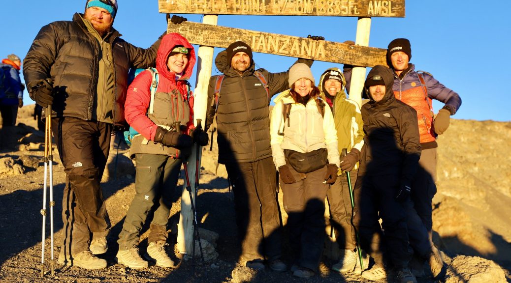
Uhuru Peak is the highest summit on Kibo’s crater rim. The Tanzania National Parks Authority, a Tanzanian government agency, and the United Nations Educational, Scientific and Cultural Organization lists the height of Uhuru Peak as 5,895 m (19,341 ft), based on a British survey in 1952. The height has since been measured as 5,892 m (19,331 ft) in 1999, 5,902 m (19,364 ft) in 2008, and 5,899 m (19,354 ft) in 2014.
A map of the Kibo cone on Mount Kilimanjaro was published by the British government’s Directorate of Overseas Surveys (DOS) in 1964 based on aerial photography conducted in 1962 as the “Subset of Kilimanjaro, East Africa (Tanganyika) Series Y742, Sheet 56/2, D.O.S. 422 1964, Edition 1, Scale 1:50,000”. Tourist mapping was first published by the Ordnance Survey in England in 1989 based on the original DOS mapping at a scale of 1:100,000, with 100 ft (30 m) contour intervals, as DOS 522.[19] West Col Productions produced a map with tourist information in 1990, at a scale of 1:75,000, with 100 m (330 ft) contour intervals; it included inset maps of Kibo and Mawenzi on 1:20,000 and 1:30,000 scales respectively and with 50 m (160 ft) contour intervals. In recent years, numerous other maps have become available, of various qualities.